
Our Oregon Coast Climb to Terrible Tilly
March 2019
A Hike to Tillamook Rock Lighthouse
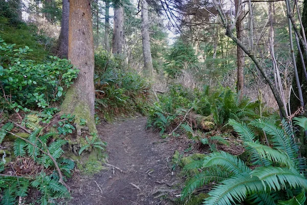
Our hike started at the Elmer Feldenheimer Forest Preserve, a 600-acre forest reserve located on the northern end of Tillamook Head, just south of Seaside. Right away, we faced a tough challenge with a steep climb for the first two miles. We were walking a legendary segment of the Oregon Coast Trail (OCT), a 362-mile path that follows the entire length of the state’s coastline.
This section of the trail is historically significant because it follows the route taken by Captain William Clark and a small group from the Corps of Discovery in 1806. While much of the OCT follows sandy beaches, the part we hiked was a rugged forest trail, often muddy and covered with ancient roots.
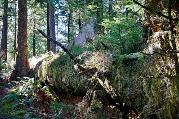
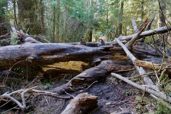
The hike took much longer than we expected. The trail pushed us up steep grades that really worked our calves. We also had to climb over huge “nurse logs”, massive fallen trees that provide a bed for new seedlings to grow, and maintain careful footing on an uneven trail that seemed to like to trip us at every step.
.
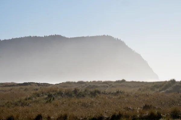
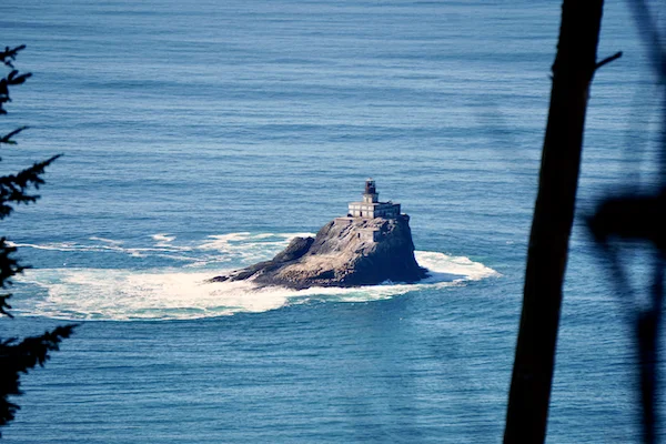
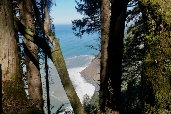
At the four-mile point, near the Tillamook Head Hikers Camp, the thick canopy finally opened and showed the Pacific Ocean and Ecola’s dramatic cliffs. In the distance, we could see the Tillamook Rock Lighthouse, sitting alone on a basalt stack out at sea. This wave-beaten icon, famously nicknamed “Terrible Tilly,” was our cue to turn around to begin our way back to Seaside.

Date
Sunday, March 17, 2019
Distance
8.02 mi
Moving Time
3:54:20 hrs
WEATHER
33 °F , moderate breeze