Utrecht Path
January 2025
A Crisp Winter Hike on the Utrecht Path, SP13 Utrecht to Odijk
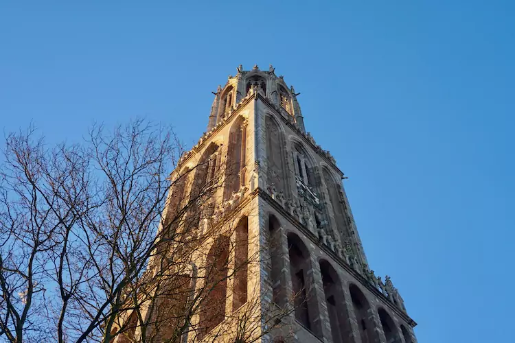
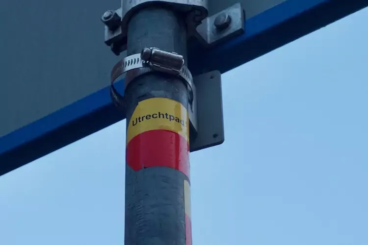
On this crisp winter day, we started with the Utrecht Path, a 160-kilometer (100-mile) long regional trail (SP13). The first leg, SP13 Utrecht to Odijk, starts at Domplein, in the heart of downtown Utrecht, a short walk from Utrecht CS, so we only had to travel 20 minutes with the bus to Utrecht Central Station. We admired the prominent Dom Tower from a distance. Thankfully, the streets were still uncrowded, so we enjoyed Utrecht’s medieval downtown beauty. At Dom Square, we located the famous characteristic yellow/red marker, signaling the start of the trail.
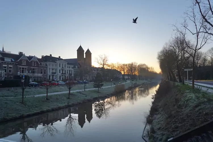
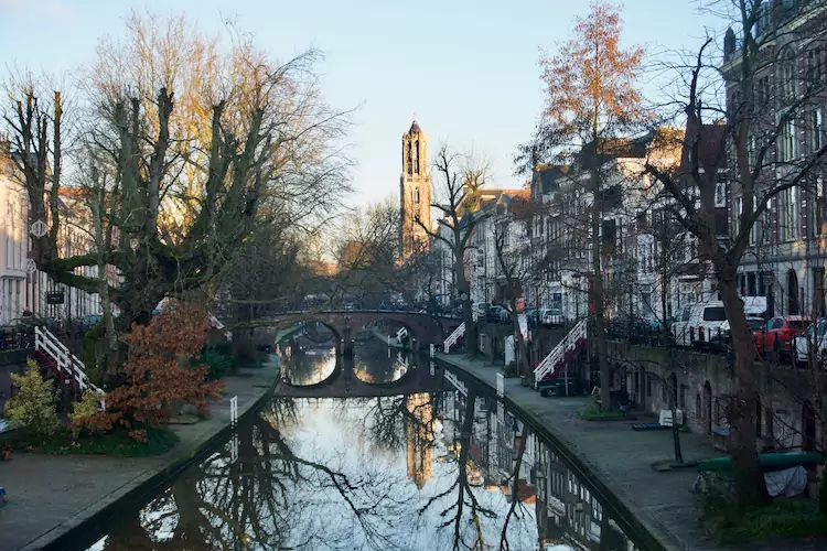
Via the beautiful Oude Gracht with old wharves and cellars, we followed the Kromme Rijn river over an ancient towpath. We zigzagged across this unpaved path, avoiding the frozen, slippery puddles. A subzero temperature, a powerful sun, and calm weather formed a beautiful mist above the river.
.
The Kromme Rijn is essential to Utrecht’s two millennia-old history. The river formed the natural border of the Roman Empire at the beginning of the Common Era. The river was also the main drainage river for the Rhine water until it was dammed in the 12th century.
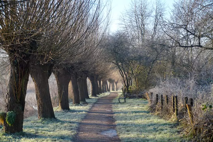
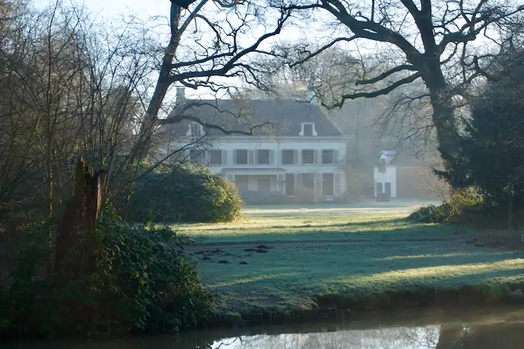
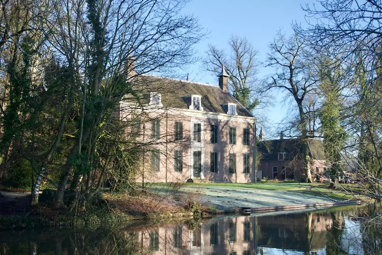
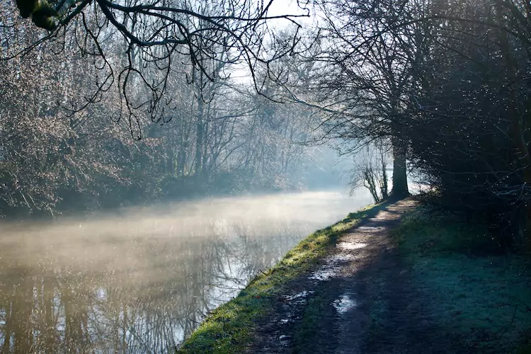
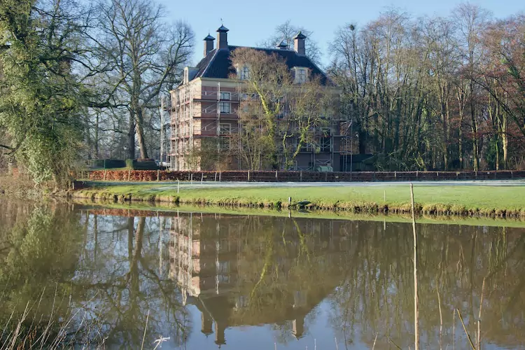
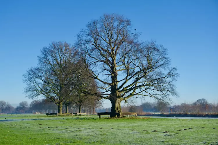
We continued following the river, walking through beautiful farmlands with estates such as Amelisweerd and Rhijnauwen. After completing the first leg in Odijk, we enjoyed our homemade coffee and lunch sitting in the warm sun at the bus stop.
Even with the chilly temperatures, today’s hike, SP13 Utrecht to Odijk, marked a promising start with breathtaking scenery to our (fourth by now) long-distance hiking adventure through the Netherlands.
Date
Saturday, January 11, 2025
Distance
10.39 miles
16.72 km
Moving Time
3:46:14 hours
Weather
-6 °C,
calm &
sunny
