
Utrecht Path
March 2025
Tackling the Last Leg
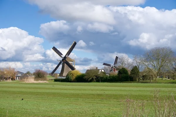
Crossing Urban, Industrial, and Rural Landscapes
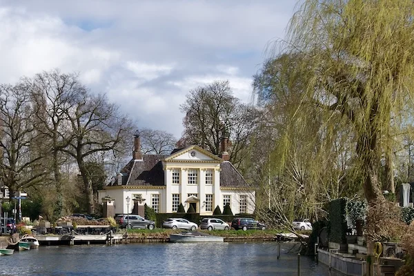
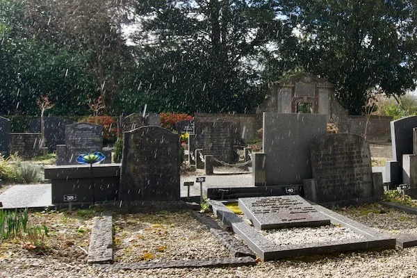
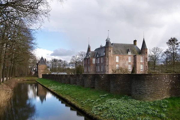
The van Zuylen Cemetery and Castle
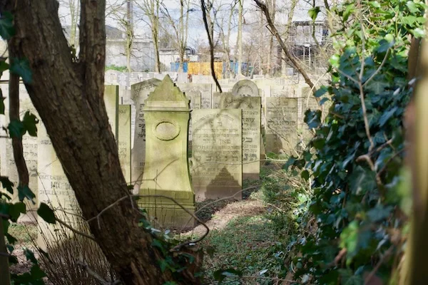
Unfortunately, the gate of the Oud Zuylen cemetery (1782) was closed. Dating from 1781, it is the oldest cemetery outside a town in the Netherlands still in use. It also holds the family grave of the residents of Slot Zuylen, a half a mile further down the road. Slot Zuylen itself was as beautiful as ever. The castle’s most famous resident is the writer Belle van Zuylen, who resisted the inequality and narrow-minded morality of her own milieu and family.
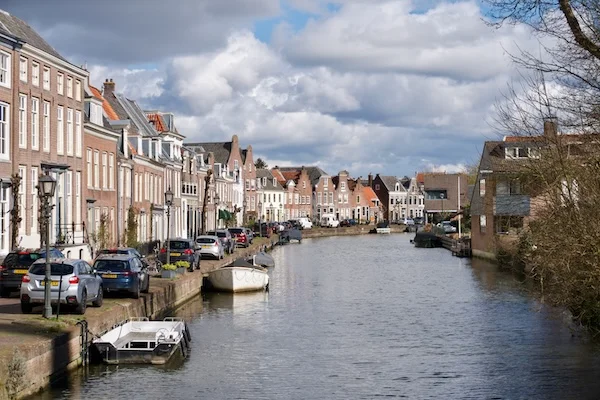
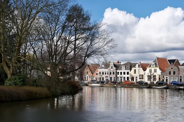
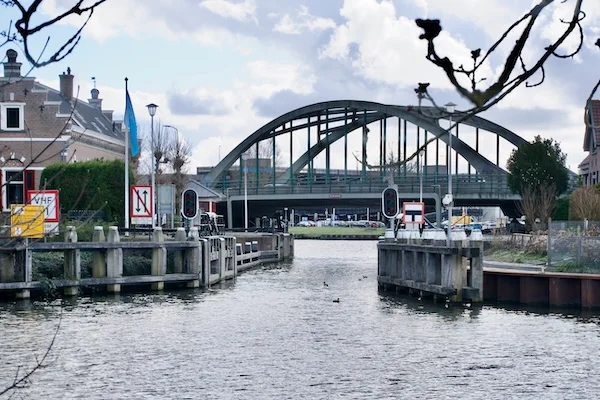
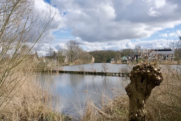
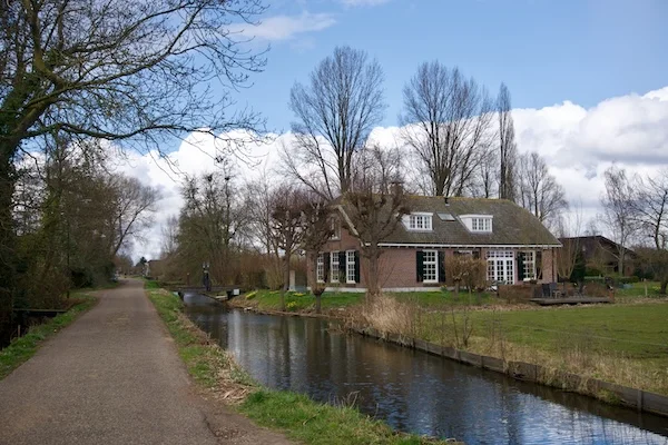
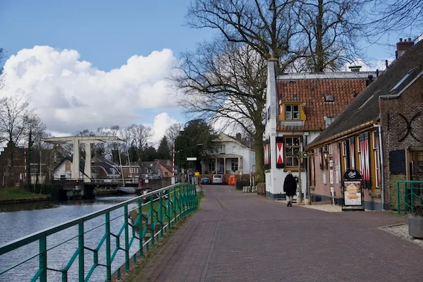
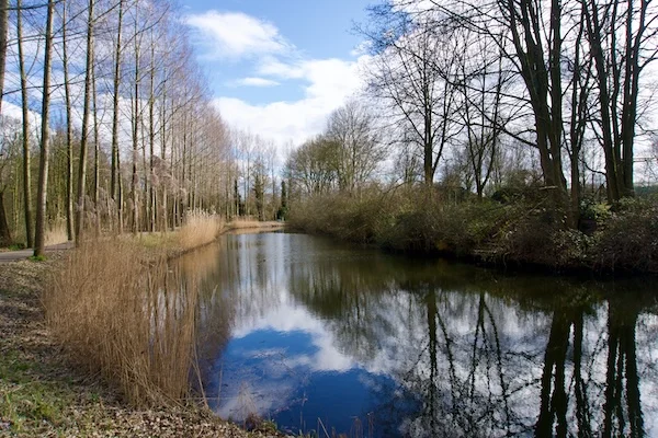
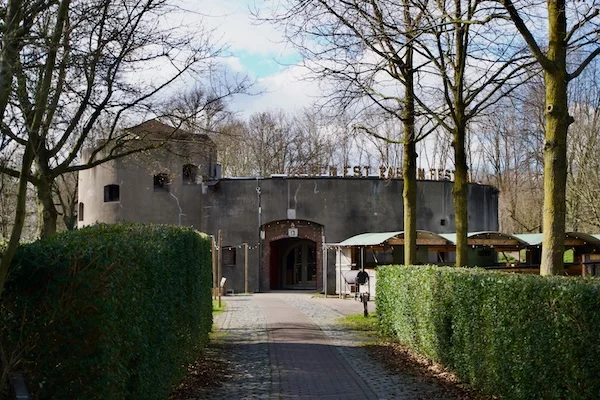
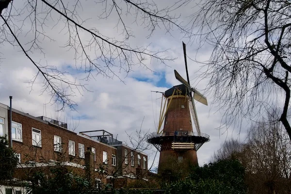
While walking through Oud-Zuilen, we felt transported back in time, with the occasional car reminding us of the present. After crossing the Slot Zuylen’s estate and passing through the De Klop nature reserve, we reached Fort aan de Klop. This fort is part of the UNESCO Dutch Waterline and is one of eight forts built on Utrecht’s northern and eastern edge between 1816 and 1829.
.

Back to The City


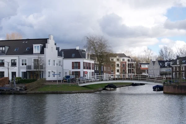
A Modern Twist

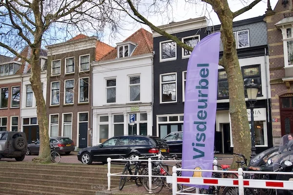
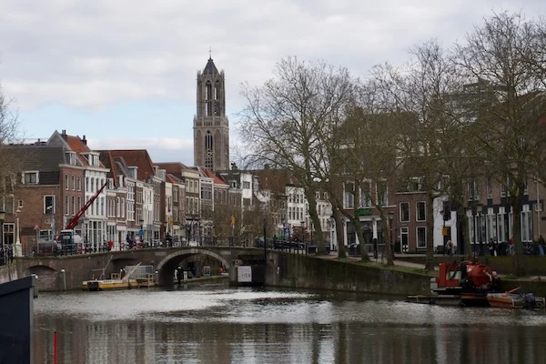


Along the Oudegracht, through Utrecht’s lively old town, we returned to the Dom to the exact same spot where our walking adventure two months plus earlier had begun.
Date
Wednesday, March 12, 2025
Distance
9.58 miles
15.42 km
Moving Time
3:17:28 hrs
Weather
8 °C, sun,
light breeze