Utrecht Path
January 2025
A Chilly Winter Hike from Odijk to Cothen
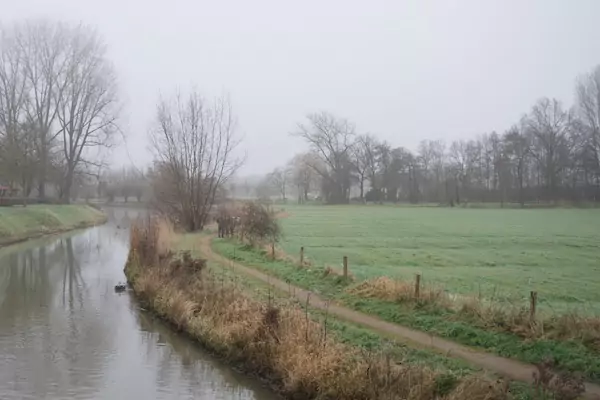
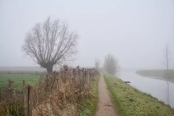
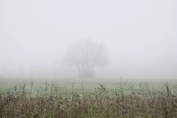
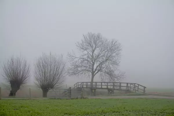
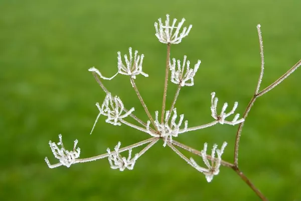
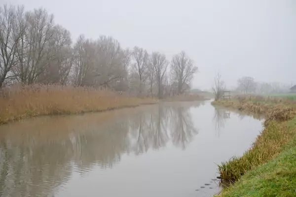
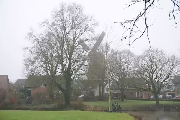
A week later, Saturday 18th, around half past ten, we were at the starting point of section 2 of the Utrechtpad. It was chilly and foggy, unlike the previous week’s sunny and frosty conditions. As in part 1, part 2 of the Utrecht Trail, from Odijk to Cothen, follows the towpath along the Kromme Rijn River, at least for the most part.
Part 2 coincides with the Waterline Path, another distance hike in the Netherlands. Not coincidentally, the Kromme Rijn namely played an essential role in the New Dutch Waterline 150 years ago. This water line, still recognizable in the Dutch landscape, functioned as an 85-kilometer-long defense system that consisted of dikes, locks, canals, forts, and bunkers.
.
Date
Saturday, January 18, 2025
Distance
9.56 miles
15.39 km
Moving Time
3:15:16 hours
Weather
-2 °C, calm, fog
